


Gosier gros monbin

sameja
User
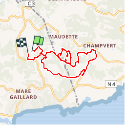

Length
12.6 km

Max alt
112 m

Uphill gradient
321 m
Km-Effort
17 km

Min alt
22 m

Downhill gradient
339 m
Boucle
Yes
Creation date :
2019-06-23 10:33:36.0
Updated on :
2019-08-09 13:03:16.911
4h20
Difficulty : Medium

FREE GPS app for hiking
 SityTrail
IGN / Geographical institutes
SityTrail Plus
The world is yours!
About
Trail Walking of 12.6 km to be discovered at Guadeloupe, Unknown, Le Gosier. This trail is proposed by sameja.
Description
Maudette St Anne gosier Mare gaillard
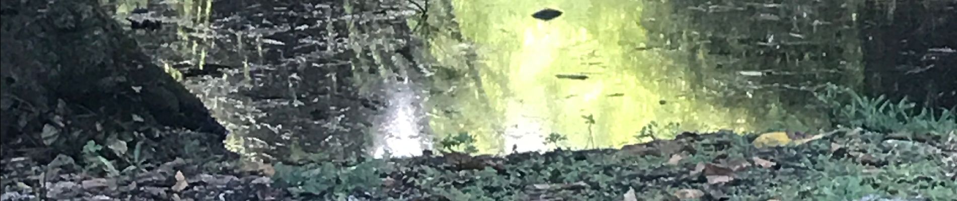
Photos


Positioning
Country:
France
Region :
Guadeloupe
Department/Province :
Unknown
Municipality :
Le Gosier
Location:
Unknown
Start:(Dec)
Start:(UTM)
667121 ; 1794934 (20Q) N.
Comments